Clouds
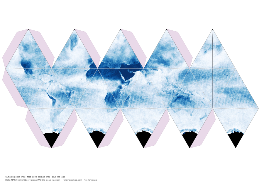
Earth's cloudiness, averaged from a month of satellite passes — the planet's weather engine on one sheet.
Drag to spin — this is what yours looks like folded.
About this globe
A month of cloud observations averaged into a single map. The bright bands are rising air — the stormy tropics and the mid-latitude storm tracks; the dark strips are the desert belts, where dry air sinks and skies stay clear.
Find the cloudiest place on Earth (the Southern Ocean) and the clearest (the Sahara and Chile's Atacama).
How the data was captured
MODIS on NASA's Terra satellite classifies every kilometer-wide pixel as cloudy or clear on every daily pass; a month of those verdicts averaged together becomes this map of where clouds live.
Download free — pick your paper size
Print at 100% scale. Cut along solid lines, fold along dashed lines, glue the tabs. Your PDF can take up to a minute to prepare — hang tight after clicking.
In the US? Print the A4 file and choose “fit to page” — it scales cleanly onto Letter paper.
Sharing this globe?
Free for personal use, classrooms, and gifts — not for resale. If you post it on your site or share it online, please credit Folding Globes with a link. Copy-paste blurb:
"Clouds" folding paper globe — free from Folding Globes, https://foldingglobes.com/globes/clouds · Data: NASA Earth Observations (MODIS cloud fraction)
Make it yours
Every paid shape also lets you pin your own places on the map.